Editor's Note: The complete Algonquin Township Map can be viewed by clicking on this link.
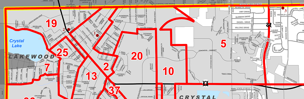
The location of all cobblestone structures in this town are noted with red dots. The adjacent number signifies the index number of a specific structure in the town; for example, Nun-1 in District 15 and Nun-2 in District 5, both in the map excerpt area. A link button is centered over each dot and when clicked links to the information page for that structure.
Click on this link to view the Algonquin Township Map that can be magnified to examine details. Use the available + and - magnification commands on your computer to choose the viewing size, and cursor keys or scrolling options to view specific sections of the map. Use the minus magnification commands on your computer to return this and all other pages to a comfortable viewing size.
McHenry County Map
The McHenry County Map below will automatically resize to your selected web browser page size as displayed. A recommendation is to use a full screen display to view.
More Detail Click on this link to view the McHenry County Highway Map that can be magnified to examine details. Use the available Command Mac or Control PC key, and + or - key magnification commands on your computer to choose the viewing size, and cursor keys or scrolling options to view specific sections of the map. Use the minus magnification commands on your computer to return this and all other pages to a comfortable viewing size.

